
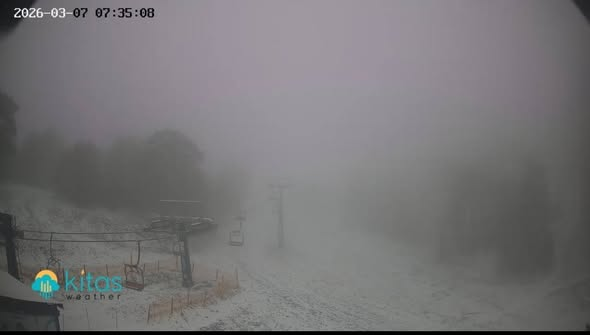
Fresh snow covered Troodos in the early hours of Saturday, 7 March, bringing a wintry scene to the mountain range.
Images shared on social media by the Weather Forecast–Ierodiakonou and Kitasweather pages showed the resort blanketed in snow, with thick fog and low temperatures across the area.
More wintry weather is expected through the day, with patchy cloud bringing isolated showers in the north and inland areas, turning to local showers and the odd thunderstorm — mainly in the mountains and southwest. Further snow or sleet is possible on the higher Troodos peaks. Temperatures will reach around 16°C inland, 18°C on the coast and about 8°C at the highest elevations.
Winds will be variable and light to moderate at 3-4 Beaufort initially, with northerly winds of 4-5 Beaufort in the east, strengthening later to mainly north to northeasterly at 4-5 and temporarily up to 5-6 Beaufort. Seas will be slight to moderate, locally moderate.
Tonight will turn mostly clear, though the eastern and southwestern coasts may see some passing cloud. Temperatures will drop to around 5°C inland, 7°C on the western and northern coasts, 9°C on remaining coastal areas, and as low as -2°C on the highest peaks, where frost is possible locally.
Sunday will be mainly sunny. Monday brings the chance of isolated light rain south of Troodos during the afternoon, with mainly clear skies returning on Tuesday, though some cloud is expected over the mountains and inland. Temperatures are expected to rise slightly on Sunday and remain close to seasonal averages through Tuesday.