
Cyprus is facing its most severe water crisis since records began in 1901, with new satellite data from NASA providing a visual confirmation of the island’s parched landscape.
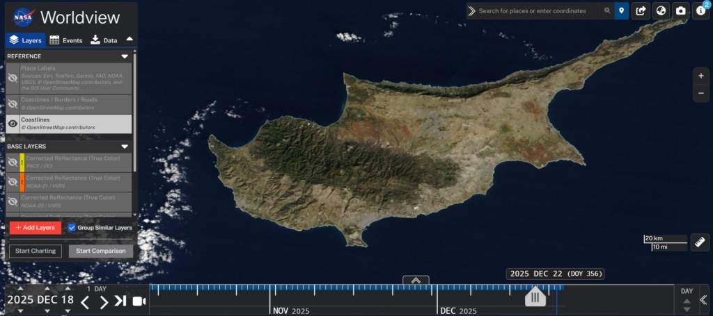
The imagery, captured exactly 12 months apart on 18 December 2024 and 18 December 2025, reveals a transition in the island’s natural coverage. While December 2024 was marked by near-normal vegetation levels following a “very wet” month, the 2025 shot shows extensive browning and “mega-drying” across agricultural and semi-natural areas. Scientists at the Cyprus Institute noted that the change is no longer just a matter of statistical measurement but is now clearly visible from low-earth orbit.
Agriculture Minister Maria Panayiotou described 2025 as the “worst year” for water scarcity in over 120 years. The impact on the ground is even more critical; as of 24 December 2025, overall dam capacity has plummeted to just 11%, or approximately 33 million cubic metres. This represents a staggering decline from the 27% capacity recorded this time last year.
Even recent storms, such as “Byron” earlier this month, failed to replenish reservoirs, with officials explaining that the “thirsty” soil absorbed almost all precipitation before it could reach river basins.
Read more: